
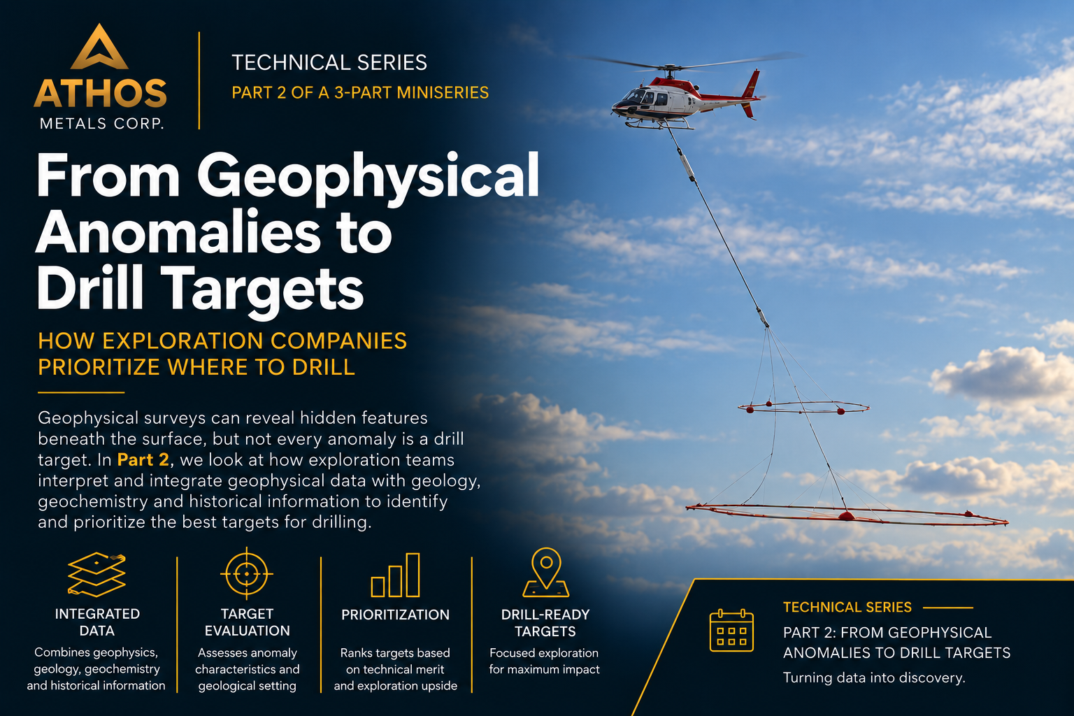
Technical Series | Part 2
From Geophysical Anomalies to Drill Targets
How Exploration Companies Prioritize Where to Drill
In Part 1 of this series, we explored how geology and geophysics provide the scientific foundation for modern mineral exploration. Identifying favourable rock types, interpreting airborne surveys and understanding mineral systems are essential first steps, but they do not, by themselves, determine where drilling should begin.¹
The next stage of exploration is turning geophysical information into informed drilling decisions. Airborne surveys can identify conductive and magnetic features beneath the surface, but an anomaly alone does not necessarily represent mineralization or justify drilling. Exploration teams must interpret these responses within their geological setting and determine which anomalies warrant further investigation.²
For Athos Metals, this process is particularly relevant at the Empire District Project following the completion of the Company’s district-scale VTEM Plus airborne electromagnetic and magnetic survey. The next stage involves interpreting these geophysical results alongside the district’s geology and other available exploration information to identify and prioritize targets for follow-up exploration.³
What Does a Geophysical Anomaly Tell Us?
Geophysical surveys allow exploration teams to investigate geological features that may be concealed beneath soil, vegetation or overburden. Different survey methods measure variations in the physical properties of rocks, providing information that can help geologists interpret what may be occurring below surface.⁴
Electromagnetic surveys, for example, are designed to identify variations in electrical conductivity. Conductive responses can be associated with a variety of geological sources, including sulphide minerals, graphite, certain rock types and geological structures. Magnetic surveys measure variations in the Earth’s magnetic field caused by differences in the magnetic properties of underlying rocks.⁴
These responses are commonly referred to as geophysical anomalies. Their importance lies not simply in their strength, but in how they relate to the surrounding geological environment.
This distinction is critical. A strong conductor is not automatically a drill target, and a geophysical anomaly does not necessarily indicate the presence of economic mineralization. Instead, anomalies provide geologists with another layer of information that can be evaluated within a broader geological model.²
From Anomaly to Exploration Target
Once geophysical anomalies have been identified, exploration teams begin the process of determining which responses are most significant.
Geologists examine factors such as the location, geometry, depth, orientation, strength and continuity of an anomaly. They also consider how the response relates to known or interpreted rock types, geological contacts, structures and other features that may influence the potential for mineralization.²
The objective is not simply to identify the strongest geophysical response. It is to determine which anomalies occur in geological settings that are consistent with the type of mineral system being explored.
This is where multiple lines of evidence become particularly important. Geological mapping establishes the regional framework and identifies favourable rock types and structures. Geophysical surveys can define concealed geological features and conductive or magnetic anomalies. Geochemical sampling may identify elevated metal concentrations, while available historical exploration information can provide additional context about the rocks and mineralization encountered in an area.⁵
When several independent datasets support the same geological interpretation, confidence in an exploration target can increase.⁵
Prioritizing Where to Drill
Not every anomaly justifies drilling. Exploration teams may identify numerous geophysical responses across a property, requiring them to determine which targets should receive the highest priority.
This multidisciplinary process is often referred to as target integration or target ranking. Exploration teams evaluate technical factors including the strength and continuity of geophysical responses, geological setting, accessibility, proposed drill orientation and the extent to which each drill hole can answer important geological questions. Targets are then ranked according to their technical merit, allowing exploration budgets to be focused on targets that offer the greatest potential to advance the geological model.⁵
Modern exploration also increasingly relies on three-dimensional geological and geophysical modelling. Specialized software allows geologists to integrate mapping, geophysical surveys, geochemical information and available drill data into digital representations of the subsurface. These models can help exploration teams visualize the geometry and relationship of geological features that cannot be observed at surface and refine potential drill locations before field programs begin.⁶
Applying the Process at the Empire District
Athos Metals is applying this multidisciplinary approach at the Empire District Project following completion of its district-scale VTEM Plus survey.³
The survey collected both electromagnetic and magnetic data across the project area, providing Athos with a modern geophysical dataset that can be interpreted within the geological framework of the district. The VTEM Plus survey was expanded during the program from an originally planned 1,654 line-kilometres to a total of 1,756 line-kilometres following the identification of additional geophysical anomalies.³
As this work advances, geophysical responses can be evaluated alongside geological, geochemical and available historical exploration information to determine which areas warrant the greatest attention. This process is designed to progressively narrow a large exploration area into a more focused group of technically supported targets.
Ultimately, selecting a drill target is a process of scientific evaluation rather than intuition. The strongest targets are those supported by multiple independent lines of geological and geophysical evidence, allowing exploration teams to refine their geological models and make informed technical decisions before drilling begins.⁵
Part 3
Drilling: Testing the Geological Model
How Every Drill Hole Advances Geological Understanding
In the final article of this series, we’ll examine how drilling tests geological models, why every drill hole contributes valuable scientific information and how exploration programs evolve as new geological evidence is collected.
Sources
¹ Athos Metals Corp., What Makes a Strong Drill Target? – Technical Series | Part 1
https://athosmetals.com/what-makes-a-strong-drill-target-technical-series-part-1/
² Predictive Modeling of Mineral Exploration Targets, Handbook of Exploration and Environmental Geochemistry, Science Direct
https://www.sciencedirect.com/science/chapter/handbook/pii/S1874273409700051
³ Athos Metals Corp., Athos Metals Completes District Scale VTEM Plus Airborne Survey over Empire District Project in Ontario and Stakes Additional Claims
https://athosmetals.com/athos-metals-completes-district-scale-vtem-plus-airborne-survey-over-empire-district-project-in-ontario-and-stakes-additional-claims/
⁴ Athos Metals Corp., Athos Metals Commences VTEM Plus Airborne Geophysical Survey over the Empire District Project
https://athosmetals.com/athos-metals-commences-vtem-plus-airborne-geophysical-survey-over-the-empire-district-project/
⁵ Abedi, M. & Norouzi, G.H., Integration of various geophysical data with geological and geochemical data to determine additional drilling for copper exploration, Journal of Applied Geophysics
https://www.sciencedirect.com/science/article/pii/S0926985112000808
⁶ Seequent, Drillhole Planning in Leapfrog Geo
https://www.seequent.com/drillhole-planning-in-leapfrog-geo/
Forward-Looking Information
This article contains forward-looking statements and forward-looking information within the meaning of applicable Canadian securities laws. Forward-looking statements include, but are not limited to, statements regarding the Company’s strategy, objectives, plans, anticipated activities, future performance, timing of transactions, and expectations with respect to exploration, development, the results of the VTEM Plus survey, drill hole planning and the anticipated drill program, additional staking, the proposed qualifying transaction with Meed Growth Corp., and the Company’s plans to build on its relationship with the Lac des Mille Lacs First Nation. Readers are cautioned that geophysical anomalies identified in this article do not necessarily indicate the presence of economic mineralization, and that the interpretation of geophysical data is subject to uncertainty.
Forward-looking statements are based on management’s current expectations, assumptions, and beliefs, including assumptions regarding market conditions, regulatory approvals, availability of financing, and the Company’s ability to execute its business plans. Such statements are subject to known and unknown risks, uncertainties, and other factors that may cause actual results, events, or developments to differ materially from those expressed or implied by such forward-looking statements. These risks and uncertainties include, without limitation: the speculative nature of mineral exploration; the absence of a mineral resource estimate; uncertainty as to whether exploration activities will result in the discovery of economic mineralization; risks relating to obtaining and maintaining exploration permits and other regulatory approvals; the Company’s limited operating history and reliance on key personnel; risks relating to the availability and cost of financing; fluctuations in commodity prices; and general economic, market, and business conditions.
With respect to the proposed qualifying transaction with Meed Growth Corp., there is no assurance that the transaction will be completed on the terms described herein or at all. Completion of the qualifying transaction is subject to a number of conditions, including but not limited to, approval of the TSX Venture Exchange, completion of the concurrent financing, and satisfaction of other customary closing conditions. The qualifying transaction could be modified, restructured, or terminated.
Readers are cautioned not to place undue reliance on forward-looking statements, which are made as of the date hereof, and the Company undertakes no obligation to update or revise any forward-looking statements, except as required by applicable law or as otherwise required by the policies of the TSX Venture Exchange.